
Ordnance Survey to bring innovative Mapping Zone to The Emergency Tech Show 2025
Ordnance Survey (OS) is hoping to make a significant impact at The Emergency Tech Show 2025, showcasing innovation, strengthening partnerships and affirming OS’s commitment to public safety and resilience. OS will have a strong team presence and a compelling programme of activities, which includes a dedicated Ordnance Survey Mapping Zone.
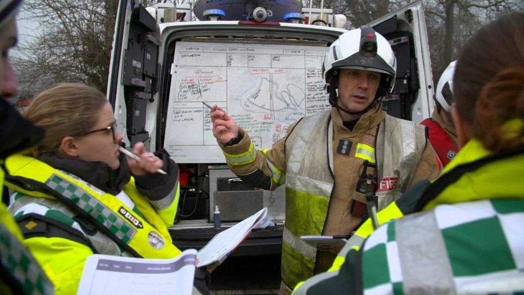
This collaborative space will feature key partners including Idox, Cadcorp, Soarvo, Landmark. Esri, and Blue Light Maps among others, and will highlight how geospatial intelligence supports risk analysis, incident response, and strategic planning, demonstrated through real-world case studies such as the Plymouth Bomb Incident and subsequent evacuation.
OS will be represented by Wes Clift (Customer Development Manager), who will be coordinating the Mapping Zone, and Egbe Manners (Market Development Lead), who will be there to bring expertise in sector engagement.
The Consultancy team, consisting of Duncan Moss, Dave Chapman, James Armstrong, Phil Geng and Richard Barker, will also be there to provide technical insight and support, helping attendees understand how OS data can be applied to solve operational challenges.
“Attending The Emergency Tech Show is not just an opportunity to exhibit but a strategic imperative. As Europe’s largest event solely dedicated to the emergency services sector, The Emergency Tech Show is a cornerstone event for our engagement with the emergency services sector.
“As Great Britain’s national mapping service, Ordnance Survey plays a foundational role in supporting public safety, infrastructure resilience, and operational decision-making through authoritative geospatial data. The Emergency Tech Show offers a unique venue to reinforce this role, engage directly with stakeholders, and demonstrate the real-world impact of OS data and services.”
Wes Clift, Customer Development Manager, Ordnance Survey.A key highlight of OS’s participation will be a panel discussion on how police forces use location data to deliver vital services. This session will feature contributions from Devon & Cornwall Police, Cumbria Constabulary, and West Midlands Police, exploring topics such as the Road Harm Index, hotspot policing, and collaborative mapping initiatives.
These discussions will underscore OS’s role in enabling data-driven decision-making and fostering multi-agency collaboration across the emergency services landscape.