Why Google Maps is Not an Option for Emergency Services

Functional Limitations for Emergency Use
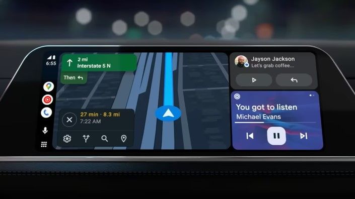
Google Maps is built for commercial use so that you and I can get from point A to point B smoothly. On the way from A to B, we get tips that may be of interest to us, such as where the next gas station is or where to stop for lunch. Things that are completely irrelevant to emergency driving. Google Maps in its simple form lacks critical tools necessary for effective emergency response. Features such as an overview of the destination, the ability to adapt map layers and base maps and get data/statistics to develop the operations are just a few examples.
Today, our customers, use many different map layers and base maps to create a great situational awareness of both the approach and the operation site. Such a basic thing as seeing a house number is critical for many of our users. All this is simply not possible in Google Maps.
Integrations issues
Another challenge is the difficulty of trying to integrate Google Maps with other applications within the vehicle platform. Our customers' operations require seamless integration of case data, immediate notifications about changes in cases and the ability to directly visualize information on the map. Google Maps does not fully meet these requirements, leading to workflow inefficiencies and unnecessary risks.
Our customers cannot switch between different applications or use different ways of sharing the screen between applications in the critical scenarios in which the applications are used.
Limitations in offline/online functionality:
While Google Maps provides some offline features, its capacity is limited. With Google Maps, emergency services face challenges as offline navigation does not take into account historical traffic data, alternative routes, or lane guidance. This means the ability to effectively navigate through complex situations can be seriously compromised when the internet connection is poor or completely absent.
Blue light authorities need robust solutions that are functional no matter the state of nearby mobile networks. Google Maps does not provide a robust enough solution for blue light authorities, which is not surprising since it is built for commercial use.
Security and the Future
Perhaps the main concerning issue is security and data governance. Given that many states and authorities are considering banning Google Mobile Services (GMS) when upgrading their public safety networks due to privacy and integrity concerns, Google Maps is not an option for the future. The global situation and the increasing demands for privacy within emergency services creates a need to seek alternative solutions that are more in line with our security standards.
Conclusion
It is clear that Google Maps and other navigation systems built for commercial use are not suitable options for emergency services, even though they might seem tempting at first glance. This is not least because solutions based on Google Maps often come with a very attractive price tag. However, in this case, it is clear that you get what you pay for. If you want to know more about how we at Evam work with navigation and case management for emergency services, you are welcome to book a demo.
)
)
