Executing a flawless finish: Why the Last 100 Meters Can Make or Break Emergency Response

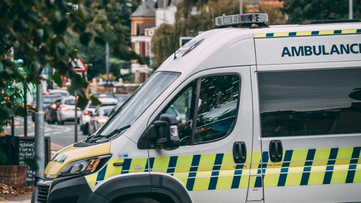
In emergencies, whether it's a cardiac arrest or a house fire, accuracy and speed are paramount. First responders must reach their destination quickly and precisely to prevent loss of life. Emergency driving is inherently risky, with first responders being six times more likely to be involved in fatal accidents compared to regular motorists.
The Critical Last 100 Meters
Research by Evam's UX team has highlighted that the final stages of emergency driving—the last 100 meters—pose the greatest risk of delaying the response. In early 2024, the team interviewed nearly 20 first responder organizations about their experiences. Almost all respondents identified the last 100 meters as the most challenging part of their journey.
Why is the Last Stretch So Difficult?
The study identified four critical sticking points: finding the right address, locating the correct entrance, accessing the building, and considering risk information specific to the area or structure.
On paper, these hurdles might seem minor, but in reality, they involve significant complexity and unpredictability. For instance, a navigation app might direct a driver to a road in front of the destination, but the entrance could be around the corner. New or unmarked buildings, renovations, and outdated maps can further complicate the task, delaying response times.
Even if the address is reached smoothly, accessing the building can be another obstacle. Multi-story buildings, in particular, pose challenges. First responders must find the right elevator, travel to the correct floor, and locate the specific door—all of which can be daunting in large, maze-like structures. As urban areas become denser and multi-story buildings more common, this issue will only grow.
Improving Emergency Response
Logistics and delivery companies have long grappled with the "last mile" problem, aiming for faster, cost-effective deliveries and happier customers. Lessons from this industry suggest that a collaborative approach, collecting and updating field information, can significantly improve outcomes.
Evam currently provides advanced navigation solutions for first responders in the Nordics and the UK, focusing on enhancing precision in emergency driving.
"Since its inception, Evam has prioritized developing tools to improve the accuracy of emergency driving. Our solutions ensure the map is highly responsive and easy to navigate, allowing drivers to get a comprehensive overview of the location with just a touch. This includes providing relevant map materials, offering a 'street view' of the destination, and supplying specific information about the area or building in question," says Mikael Erneberg, CEO of Evam.
“Additionally, first responders can report issues encountered at specific locations to a database. This ensures that any known problems are flagged for future responses, directly impacting precision and providing added confidence to responders.” Erneberg adds.
If you would like to learn more about how Evam enhances precision in emergency response, we encourage you to book a demo at www.evam.life.
)
)
